When to use what: Hand sketching, 2D floor plans, and 3D tours
In this article (click on any of the links below to jump there):
The need for restoration professionals to measure and visually represent a property
5 questions to ask when determining what method to use to capture measurements and a sketch
Measuring and sketching by hand - what is it, when to use it, and why
2D digital floor plan creation - what is it, when to use it, and why
3D virtual tours and dollhouse views - what is it, when to use it, and why
Encircle Floor Plan - what is it, when to use it, and why
With fewer adjusters assessing claims in person, restoration professionals are faced with additional challenges to communicate and justify the scope of their work. To get everyone on the same page, it falls to restorers to paint a picture of the property loss, including visually representing the property for context, so that the adjuster feels like they were there. The property must also be visually represented, with accurate measurements, in order to generate an estimate.
The good news: There are a variety of options available to restorers to capture measurements and visually represent a property. These include measuring and sketching by hand, 2D floor plans using software, and 3D tours using software. Some solutions even include integrations to get your sketches into your estimating platform easier and faster!
The bad news: There are so many options and new technologies available that it can easily become overwhelming to know what solution(s) to use, and when to use them. And of course, we cannot forget the additional costs that restoration businesses incur as a result of needing these technologies.
So, what options exist for restorers to measure and visually represent a property, and when should each type of solution be used?
It's important to note that the options listed below are not mutually exclusive. They can be used in combination with one another to achieve a restorer’s desired outcome - whether that is saving money, having techs spending less time capturing a property, creating estimates faster, or allowing the ability for an adjuster to virtually tour the loss.
There isn’t a cut and dry answer to the second part of this question. The needs of each restoration professional are unique based on the type of work they do, how they get paid, and their business circumstances. But, restorers can help themselves make some decisions by asking the following 5 questions:
CONSIDER THESE 5 QUESTIONS…
- What is the size of the loss?
- What is my timeline to get an estimate created and submitted?
- Are there any health and safety hazards for my team onsite?
- What is my current job volume and what are the resources I have available right now?
- What profit margin am I expecting on this job?
WHEN EVALUATING THESE OPTIONS:
OPTION 1 - MEASURING & SKETCHING BY HAND
What is it?
Probably the most commonly-used technique, a team member sketches a property on a piece of paper, labeling walls with measurements that were captured with a laser measure (or a tape measure, if you’re old school like that).
When should you use it?
- Size of loss: Extra Small - Small (1-2 rooms)
- Estimate timeline: Flexible timeline
- Hazards on site: None, or low-risk
- Job volume: Low to normal
- Profit margin expectation: Low
Why?
Measuring and sketching by hand is a viable method when there is only a small area needing to be represented (1-2 rooms) and your timeline to get your estimate created is not immediate. This method can become quite time-consuming as the size and scope of a property loss increases. It is also vulnerable to human error, which can create inefficiencies and rework if measurements need to be confirmed or altered (worst case scenario, you need to make an extra trip back to the site to measure again).
Then, the physical sketch typically needs to be transcribed into a digital format back at the office to be used as part of a claim file, and to be used in your estimating software. The man hours dedicated to this task both onsite and back at the office should be carefully considered, especially if you are on a tight timeline to get your estimate submitted.
This method is better suited to a scenario without any health or safety concerns on site. Requiring a field team member to use their laser measure and then hand-draw the property means they need to stay on-site until this task is completed (in addition to any other tasks they need to perform). If the loss is an environment that poses a risk to their health and safety, you ideally could get your team in and out of there as quickly and efficiently as possible.
Technically, having your team measure and sketch manually is ‘free’ versus paying for a technology/software to capture a property for you. But this method comes at the expense of more labor hours to manually complete the task. It is more feasible to manually measure and sketch in scenarios where your job volume is manageable (you aren’t concerned with your field staff spending more time on this task), and when your profit margin may be lower than you would like (you don’t want to sacrifice more margin to use a software solution that speeds up the process, but costs money).
OPTION 2 - 2D FLOOR PLAN CREATION
What is it?
Restorers capture a property using technology - it could be through an app or through specific equipment/hardware (or both). Then the software provider generates a 2D floor plan as a digital file. Some software solutions also offer the option to create 3D representations of the property (see that section below for more information). There are a variety of solutions available on the market today, with varying price points, property capture methods, delivery timelines and file formats.
When should I use it?
- Size of loss: Small - Extra Large (2+ rooms)
- Estimate timeline: Depends which solution you choose - different providers offer different delivery timelines
- Hazards on site: Depends which solution you choose - different providers have different capture methods that take varying amounts of time
- Job volume: Normal - High
- Profit margin expectation: Moderate or better
Why?
Creating 2D floor plans is a great alternative to hand measuring and sketching when you encounter a property loss that is larger than a couple of rooms. It prevents your field team from spending valuable time measuring and drawing by hand, and avoids the inevitable element of human error or even missing measurements for a larger space. There is a valid argument to be made that restorer’s should consider using 2D floor plans for every job, even if it is just a couple of rooms. Not only does it reduce the time your field tech spends manually measuring and sketching, but you get the added benefit of consistency in how you are visualizing a property. That means that your office staff and estimators can expect the same output from the field every time, making their job simpler and more predictable.
How quickly you receive your 2D floor plans back, and the level of detail in those floor plans, depends on the technology/software provider you opt to use. You should select a technology partner that delivers what you need for your business, when and how you need it.
Digital floor plan creation via technology is also advantageous in scenarios where you have a normal to high volume of jobs on the go. Utilizing this tech can speed up your time to estimate and reduce inefficiencies with incorrect or missed measurements. The one caveat is that for solutions that require additional hardware for capture, you may need to have multiple sets of equipment to capture multiple property losses at the same time.
Lastly, it should be noted that these technologies do not come for free. So if you decide to buy a software solution (whether it is pay per 2D floor plan or subscription), you need to make sure you have room in your profit margin to offset that cost. Some software solutions charge additional fees to deliver your floor plans within a certain timeframe, or in a certain file format. So be sure to consider those additional costs as well.
OPTION 3 - 3D VIRTUAL TOURS AND/OR DOLLHOUSE VIEWS
What is it?
Similar to 2D floor plans, restorers can capture a property in 3D using technology - it could be through an app or through specific equipment/hardware (or both). For most 3D imaging software solutions, external equipment like 360 cameras and tripods are required for capture. Then the software provider generates a 3D virtual tour or even a dollhouse view of the property. It is also common for software providers who offer 3D visualization to also offer 2D digital floor plan delivery for an additional fee (refer to the section above for more detail).
When should I use it?
- Size of loss: Large - Extra Large (4+ rooms)
- Estimate timeline: More flexible timeline
- Hazards on site: Low risk to moderate hazards
- Job volume: Normal / Dependent on amount of 3D capture equipment you have purchased
- Profit margin Expectation: High
Why?
3D virtual tours and dollhouses are most often used for larger and/or more complex job sizes. By capturing the property in 3D, you are capturing all property details and giving the reviewer or adjuster the ability to tour themselves through the property and focus in on any areas of interest. This undoubtedly has value, especially if you plan to capture a before and after of a job site to use for marketing purposes.
These solutions are better suited for scenarios where timelines for estimates are more flexible. Remember that starting your estimate requires measurements and a sketch. Those items are not provided immediately when you complete a 3D capture. Depending on the software provider you use, there is usually an option to receive a 2D floor plan or a measurement report (for an additional fee). The delivery window to receive these outputs from a 3D capture method is usually somewhere between 24-72 hours (or sometimes more during a busy period), depending on the software provider. So if you are in a scenario where you need your estimate to be submitted in the first 24 hours of the claim assignment, this may not be the best option for you.
It is possible with some solutions to digitally measure areas within 3D images/tours manually, but this can be quite time consuming and tedious. Some solutions offer the option to pay an additional fee to expedite the delivery of the 2D floor plans. This is a viable option if you are in a pinch, but should be considered when you are evaluating costs, if you feel you need to request this and pay the fees for the majority of your jobs.
The speed to capture a property using 3D technology varies by the software provider and by the expertise of the individual doing the capturing. It is estimated that a 2,000 ft2 property can take between 30 to 60 minutes to capture. If there are any health and safety hazards that may be present on a job site, this time window should be considered. Additionally, it should be considered that the expensive external hardware used for capture (cameras, tripods) may need to be cleaned or disinfected after being used on sites that have health and safety risks.
Naturally, software solutions that offer 3D visualization of a property come at an additional cost per month and/or per project, in addition to the upfront hardware costs. For these reasons, restoration professionals should aim to use this technology in scenarios where they are confident they have higher profit margins to offset these additional costs.
Click here to learn about the advantages of Encircle Floor Plan vs a 3D tour solution.
WHERE DOES ENCIRCLE FLOOR PLAN FIT IN?
What is it?
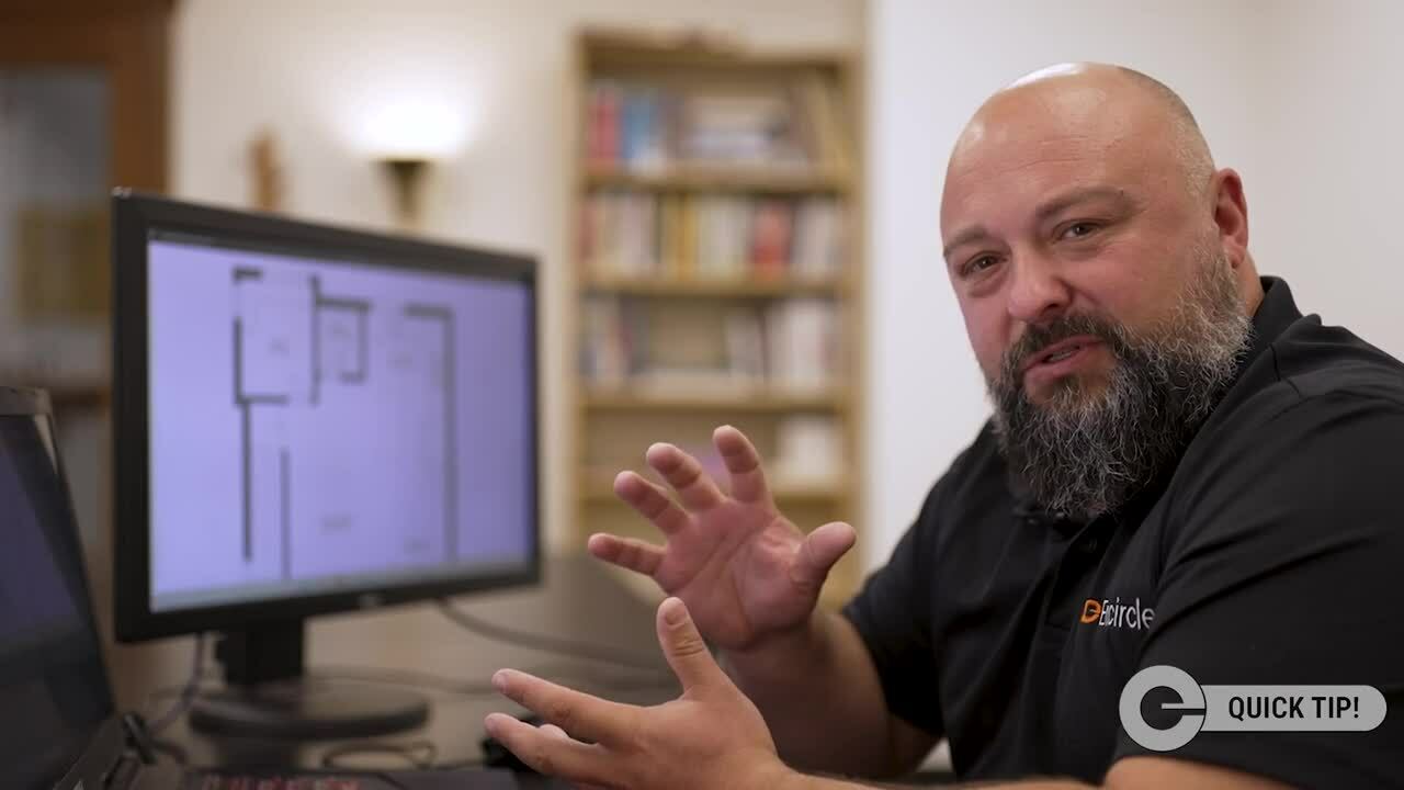
Encircle Floor Plan is the fastest and easiest way for restorers to capture properties for their sketch. It has been designed to be part of a restorer’s workflow when they arrive onsite at every job.
Any field team member can capture a property in minutes, using only their smartphone, from directly within the Encircle mobile app. A precise, digital 2D floor plan is delivered back into the Encircle claim in 90 mins on average (always within 6 hours).
When should I use it?
- Size of loss: ANY SIZE
- Estimate timeline: ANY TIMELINE
- Hazards on site: Irrelevant - the capture is SO quick!
- Job volume: ANY JOB VOLUME
- Profit margin expectation: ANY MARGIN
Why?
Encircle Floor Plan is so easy, accurate, and fast that it can be used on any job type or size. By enabling any field team member to capture a property in around 5 minutes using their smartphone, there is no need to fuss around with additional physical equipment, and no need to provide additional training. It prevents your field teams from spending time manually measuring and drawing by hand, so they can focus on their actual work to be done on site. Plus, the accuracy of Encircle's 2D floor plan tool (95% all the time, 97% with LiDAR) means that you no longer need to worry about missing or incorrect measurements on the sketches your field team creates. This makes it a great option for any job you may encounter, big or small.
Encircle Floor Plan allows restorers to complete their estimates on Day 1. Restorers are usually under time pressure to create their mitigation estimates quickly. Encircle floor plans are returned in 90 mins on average, and are always guaranteed to come back in under 6 hours.
And it gets even better! Encircle is integrated with Verisk so you can import your floor plans to create instant Xactimate sketches. So whether you are trying to meet a carrier milestone, or simply trying to impress your client, you can stop waiting days to begin writing your estimates.
If there are health and safety hazards on your job site(s), Encircle Floor Plan is the fastest way for your team to capture the property and therefore reduce risks to your field team. The capturing process is a breeze for field techs because it's as simple as a continuous walkthrough video. This is much faster than other solutions that make you pause to capture still images of each room.
This speed to capture and the fact that no additional equipment is needed also makes Encircle Floor Plan an ideal solution, regardless of job volume. When job volume is high, field techs are able to spend their time in the field doing the work, instead of manually measuring and sketching. Plus, there is no need to worry about sending expensive equipment between different sites, or having enough sets of cameras and tripods to capture the different properties you are working on.
Encircle Floor Plan is priced at $29 per scan, with discounts available for monthly subscriptions. There is an optional $10 fee to import your floor plan into an instant Xactimate sketch.
This affordable price point for a precise, 2D floor plan delivered in around 90 mins, and automatically available as an Xactimate sketch if desired, saves restorers hours in field time and time in Xactimate in return.
Plus, this consistent pricing model means that your costs to capture a property will not increase with the size of that property. This allows for easier budgeting of your anticipated job costs, and higher job profitability.
Want to know what restorers think about Encircle Floor Plan?